What methods or models can be used to predict or forecast rainfall-induced landslides?
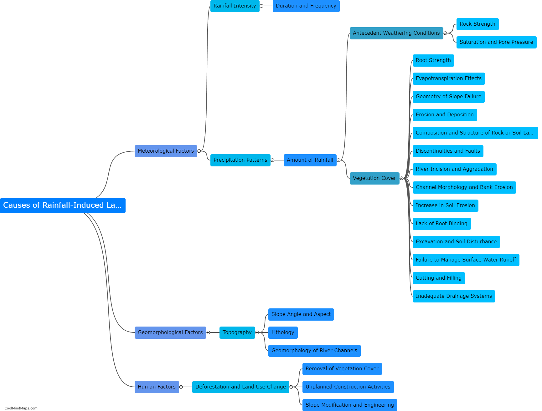
Various methods and models can be utilized to predict or forecast rainfall-induced landslides. One commonly used method is the empirical rainfall threshold approach, which establishes a critical value of rainfall that, if exceeded, could trigger landslides. These thresholds are determined by analyzing past landslide events and correlating them with rainfall characteristics. Another approach involves the use of physical models such as numerical simulations or geotechnical slope stability models, which account for soil properties, slope characteristics, and rainfall data to assess landslide risk. These models simulate the behavior of the slope under different rainfall intensities and durations to forecast potential landslides. Additionally, the integration of remote sensing data, including satellite images or ground-based sensors, can provide real-time monitoring and early warning systems, enabling more accurate predictions of rainfall-induced landslides.

This mind map was published on 11 February 2024 and has been viewed 50 times.


