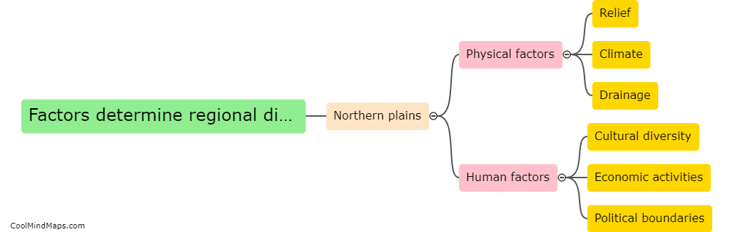
How is the northern plains of India divided geographically?
The northern plains of India are geographically divided into three parts: the Bhabar, the Terai, and the plain. The Bhabar region is narrow and parallel to the Shivalik Hills, characterized by pebbly and porous soil. It acts as a buffer zone between the hills and the plains, and its rivers disappear into the ground due to this porous soil. The Terai region lies south of the Bhabar, and it is a marshy and swampy area with fertile alluvial soil. It is prone to flooding due to its proximity to the Himalayan rivers. The plain region is the largest part of the northern plains, comprising the fertile Gangetic plain. It is characterized by the alluvial soil deposited by the rivers, making it highly suitable for agriculture. These geographical divisions play a significant role in shaping the landscape, climate, and economic activities of the northern plains of India.

This mind map was published on 1 February 2024 and has been viewed 37 times.